
Something a little bit different today.
3 years ago this week, while Calgary and southern Alberta were famously flooding, up in Edmonton the North Saskatchewan was having a bit of a mini-flood as well.
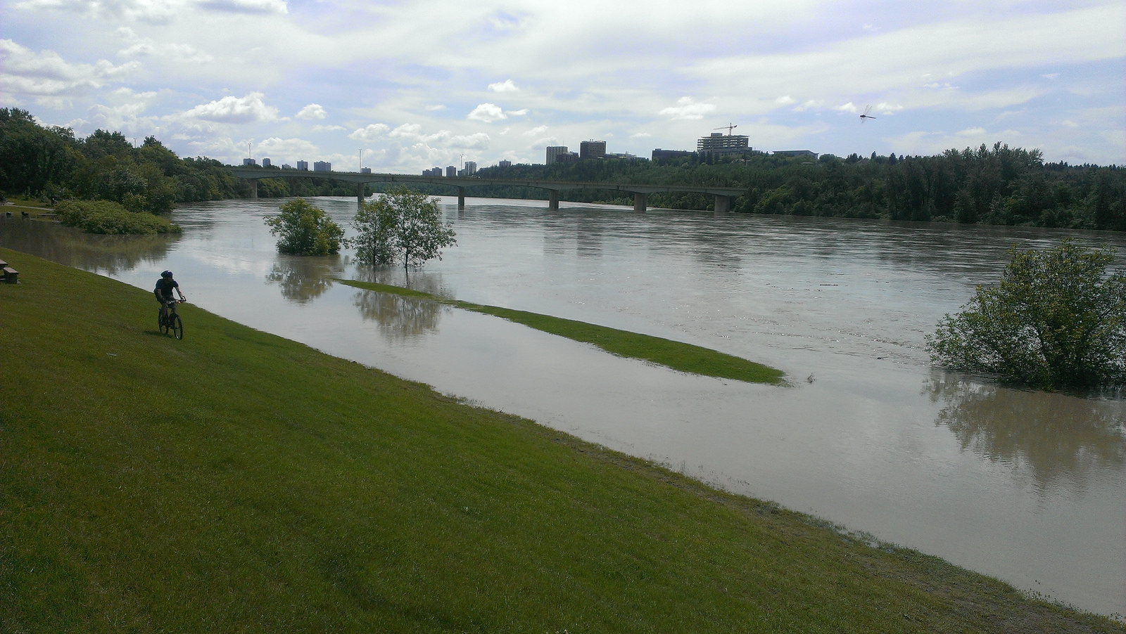
Here are a few pictures from June 23, 2013:

The speed of these things is amazing:

Over the 4 days from June 19, 2013 through June 23 the river rose from 4m to 9.4m - that's 5.4m or almost 18'. And the volume increased by 7x, from 400m3/s to 2,800m3/s.
2,800m3/s is 10,080,000,000 L/hr, which is a ridiculous number.
I was reminded of this while in the dogpark today, because the river levels are very low.
 |
| 3 years ago this spot was under 23' of water |
Alberta Sustainable Resource Development has a website with data on all of the province's river basins. As of June 24, 2016 the North Saskatchewan in Edmonton is sitting at about 2.4m deep, with a flow of 110m3/s.
And here is a chart that is taken straight from their website:
 |
| Source: http://www.environment.alberta.ca/apps/basins/DisplayData.aspx?Type=Figure&BasinID=4&DataType=1&StationID=RNSASEDM |
The dashed lines are the high & low quartiles that I often also like to use on my charts. And right now 2016 is well below the typical range of about 240-550m3/s.
No comments:
Post a Comment